Destinations


Team Seeable
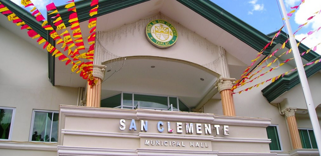
San Clemente Town Center
View in full screen
The municipality of San Clemente is the second smallest municipality in the province of Tarlac. In terms of geographical size and appearance, it is a narrow or elongated municipality with a total area of 5,965 hectares, which is 2.14% of the province's total area. Located in the westernmost part of Tarlac, the parish is bounded by the parishes of Camiling (Tarlac) to the east, Mayantoc (Tarlac) to the south, Mangatarem (Pangasinan) to the west, and Bayambang (Pangasinan) to the north. San Clemente is at longitude 12022 E and latitude 1543 N. See Figure 1. Site plan of San Clemente. San Clemente is a municipality 35 km long and 4 km wide. A national road (Romulo Highway) crosses the municipality and enters Pangasinan Province. The northern part consists of swampy rice land, while the southern part typically consists of rolling hills with a forest cover that extends to the foot of the Zambales mountain ranges.
Social Accounts:
Website: https://sanclementetarlac.gov.ph/
FacebookPage: https://m.facebook.com/sanclemente.tarlac/
Tel. No.:(045) 934 1244